Sir Robert Dudley and the Secrets of the Sea
Chapter 3 : The Arcano del Mare (On the Secrets of the Sea)
In 1606 Dudley applied to enter the service of Ferdinando I de Medici, Grand Duke of Tuscany. The following year he and Elizabeth settled in Livorno where his role included draining the marshes between Pisa and Livorno, improving the harbour and its fortifications, building ships, encouraging English merchants to settle in the rapidly expanding free port, and recruiting English seafarers and shipwrights into the service of his new employer. In 1608 Dudley was instrumental in the organisation of the Thornton Expedition which sailed to Guiana with the intention of establishing a Florentine colony in the Americas. No other Italian state made a similar attempt and by the time Thornton returned to Livorno in 1609, Ferdinando I was dead. His successor, Cosimo II, was uninterested in continuing the project.
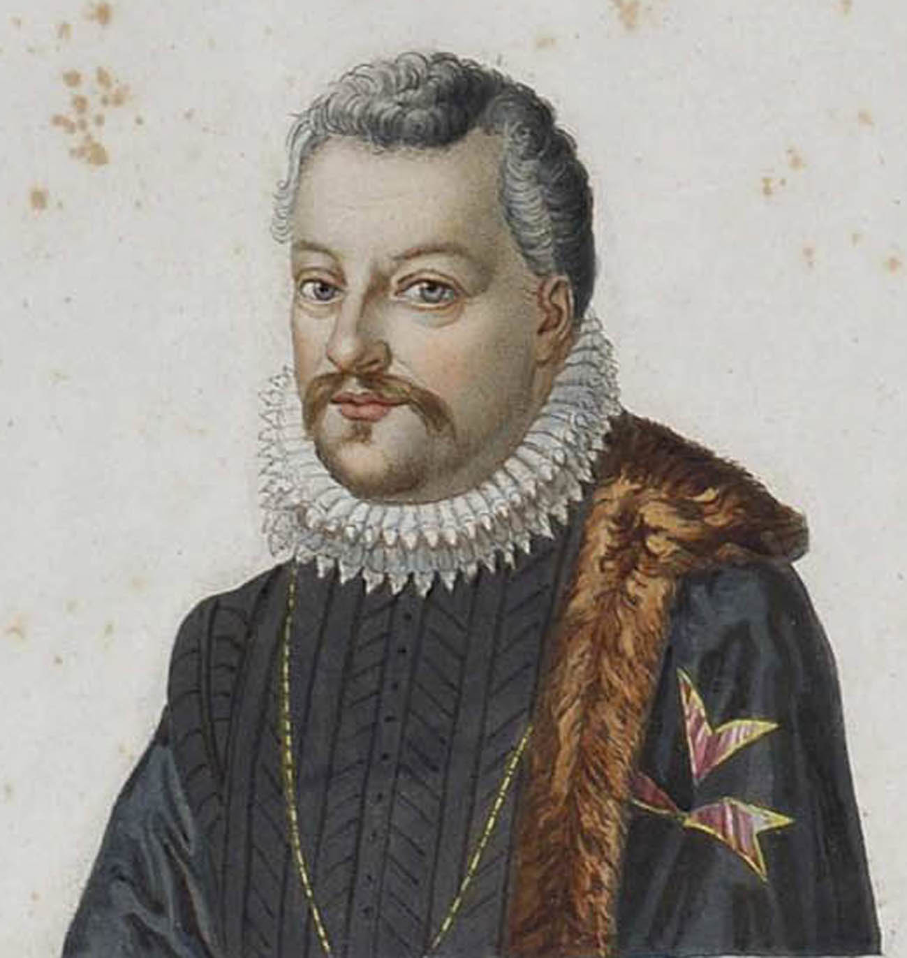
Dudley, now styling himself Earl of Warwick, never thought that his exile from England would be permanent. He wrote to his friends including Thomas Chaloner, who was Prince Henry’s chamberlain, asking for help in resurrecting his good name. The Grand Duke instructed his minister in London to work on Dudley’s behalf to have him reinstated. These attempts together with Dudley’s own endeavours to woo Prince Henry and his father, the king, came to nothing. In 1614, recognising that he was unlikely ever to return home, Dudley purchased a property in the San Pancrazio district of Florence and set about securing as much of his remaining belongings from England as he was able. In 1620, after long service to the Medici, he was recognised as the Duke of Northumberland. Elizabeth died in 1631 and was buried in the church of San Pancrazio near the home where she and Robin raised their twelve children. Her widower, living in genteel poverty, began to concentrate on his writing, which included an account of his life, as well as all the maritime knowledge he had accumulated throughout his long life. The project would take him the next twelve years to complete and was hampered, according to a letter written by Dudley to Ferdinando II’s chamberlain, by paper shortages, the slowness of his engraver and difficulties created by the atlas’s publisher, Francesco Rondinelli, who was loath to allow the text to be proofread or for Dudley’s mathematics to be checked by his friend, Evangelista Torricelli, a mathematician and pupil of Galileo.
When the Arcano del Mare was completed Robert Dudley became the first Englishman to create a sea-atlas, even if it was published in Florence in 1646-1647, dedicated to Ferdinando II de Medici, and approved as free from heretical ideas by the Inquisition. As well as his own voyage to the West Indies, Dudley drew on Thornton’s voyage of 1608. He included the log of master navigator Abraham Kendal and knowledge acquired from both Thomas Cavendish and Richard Hakluyt. He was also able to draw on discoveries made by John Davies, Henry Hudson and Martin Frobisher, amongst many others. The latter’s findings during his 1578 voyage are recorded on Dudley’s chart of Greenland. It is likely the source for Hudson’s charts came via Dudley’s godfather, Sir Henry Lee, whose half-brother Sir Richard Lee travelled to Russia at the behest of the Muscovy Company. Privileged knowledge of the sea extended from Leicester’s library at Kenilworth, which is known to have housed twenty-three maps and network of family connections through a lifetime spent amongst seafarers including Dutch, Portuguese and Jesuit sources. There are charts in the Arcano showing elements of the Californian coast thought to have originated with Drake, whilst another shows part of Australia derived from the 1617 discoveries of John le Maire, a Dutchman sent to find a new way to access the trading potential of South East Asia.
The three volumes, in six parts, form a comprehensive compendium of seventeenth century maritime knowledge. Dudley covers shipbuilding, naval architecture, naval and military discipline, the different kinds of vessel required to construct a navy, navigation methods and astronomy as well as 130 maps and charts depicting the whole of the known world. The charts provide magnetic declinations, prevailing winds and currents for more accurate navigation. It was also the first atlas to use Mercator’s projection using a graphical method of equidistant parallel lines of latitude and longitude to transfer the three dimensions of the globe onto a flat surface. In doing this Dudley was drawing on his own superior mathematical skills, long acquaintance with Thomas Chaloner, and also his time with Abraham Kendal in 1594. The navigator was known to have read the 1599 work by Edward Wright entitled Certaine Errors which corrected flaws in Mercator’s original text and devised tables to translate angular lines into flat surface nautical miles. Dudley understood that a map using a Mercator projection would enable a navigator to draw a straight line on any of his maps to achieve a true compass bearing. However, the line would not represent the shortest distance between the points. To plot this course an understanding of ‘Great Circle sailing’ was required. Dudley helpfully included instruction in the Arcano for plotting a great circle as a series of lines to make up the necessary curve that represents the circumference of the circle (whose centre is the middle the world) that joins the starting point with the destination and which represents the shortest distance between the two locations. What is even more remarkable is that the entire work was written in Italian and that the maps and coastal charts created in an elegant but business-like hand were Dudley’s own work. Even after the atlas was published, he continued to work on perfecting both the maps and the language of the Arcano until his death on 6 September 1649.
The atlas was beautifully engraved in the Baroque style by Antonio Francesco Lucini, who added calligraphic flourishes, compasses roses, exploding volcanoes, sea monsters and ships under full sail. Lucini claimed to have used 5,000lbs of copper whilst he worked on the plates required to illustrate the atlas. Some of the diagrams of the mathematical instruments required for navigation even have moving parts known as volvelles. The Museo Galileo in Florence[1] still holds the collection of nautical instruments bequeathed by Dudley in 1649 to the Grand Dukes of Tuscany. The instruments include astrolabes, a nautical circle, compasses, protractors, quadrants and theodolites as well as a wind rose of Dudley’s own invention. Many of them are illustrated and their practical usage explained in the Arcano.
Although the atlas went into a second edition in 1661, it never took the place of existing Dutch sea charts which dominated the market at that time. It was only in the eighteenth century that cartographers began to make regular use Mercator’s projection for map production. Sir Robert Dudley spent forty-four years in exile and by the time of his death he had outlived his fame. He has no known grave and his adopted country raised no monument to his achievements but Dell Arcano del Mare and his passion for the sea remains. It has been described as amongst the ‘most important works in the history of European Cartography’.[2]
[1] https://catalogue.museogalileo.it/multimedia/DudleyCollection.html